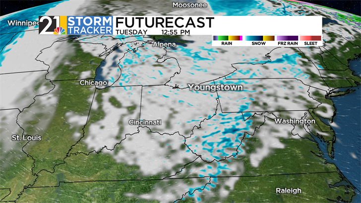
After a late Monday snow blitz, a January-like day Tuesday

The powerful front that ushered much colder air into eastern Ohio and western Pennsylvania on Monday will be well east of the area by Tuesday morning. Although the "steady" snow that occurred toward the end of the afternoon and into the evening on Monday will not make a comeback Tuesday, a scattering of flurries and snow showers is in the forecast. Additional accumulations on Tuesday will be a coating to an inch or so and wind chills should be no higher than the teens. A St. Patrick's Day much more like January 17th!
Thankfully, Tuesday's bitter cold will not stick around for very long, although Wednesday will still be a chilly day by mid-March standards. We expect clouds to increase on Wednesday, and a few flurries will become a possibility late in the day and at night. A couple of rain showers might accompany the return of milder air Thursday afternoon.
Friday will also be fairly mild, albeit with a chance for showers. The April-like weather is set to stick around into the upcoming weekend, with a chance for a few raindrops both Saturday and Sunday.