Two quick-hitting systems will end off the coldest year since 2014

The first of two quick-hitting systems is expected to bring us a fresh coating of snow tonight.
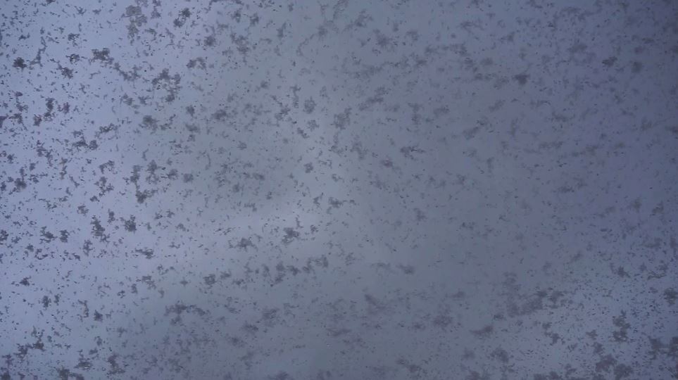
After scattered lake-effect snow has subsided on Tuesday evening, light snow will quickly fill in the gaps overnight. While accumulations won’t be appreciable, just around a coating to an inch in most spots, temperatures in the upper 10s will mean any snow that falls will immediately stick to the roads. Take some caution on Wednesday morning as the snow will taper quickly.
It won’t get much warmer on Wednesday. Locations will struggle to reach above 30, as snow is expected to exit by mid-morning. Some spots north of town could hang on to some lake-effect throughout the day, while most of us will stay dry for a brief period around lunchtime. Late in the evening, as we ring in the New Year, Mother Nature will send us another quick shipment of snow. This snowfall will be steadier than the first system, and is likely to drop 2 to 4 inches of fresh powder area-wide. Locations closer to the Erie lakeshore could get more, as the lake will enhance some snowfall there. Heavy banding is also possible in the early-to-mid evening hours, which could be the cause of snow squall warnings. Please take the utmost caution and stay with us if you are travelling for any New Year’s celebrations.
What will follow is a period of calm, yet cold weather. High temperatures on Thursday may not even reach 20 in some spots under mostly cloudy skies. Temperatures are expected to rise closer to average on Friday, with locations peaking in the mid-to-upper twenties. By this time, persistent westerly winds will finally calm down.
Scattered rain and snow chances are low, but not out of the question by the time the weekend rolls around. Temperatures will look to moderate closer to average by the end of the seven-day forecast.

