
A spring fling Friday, but cold air will return in short order
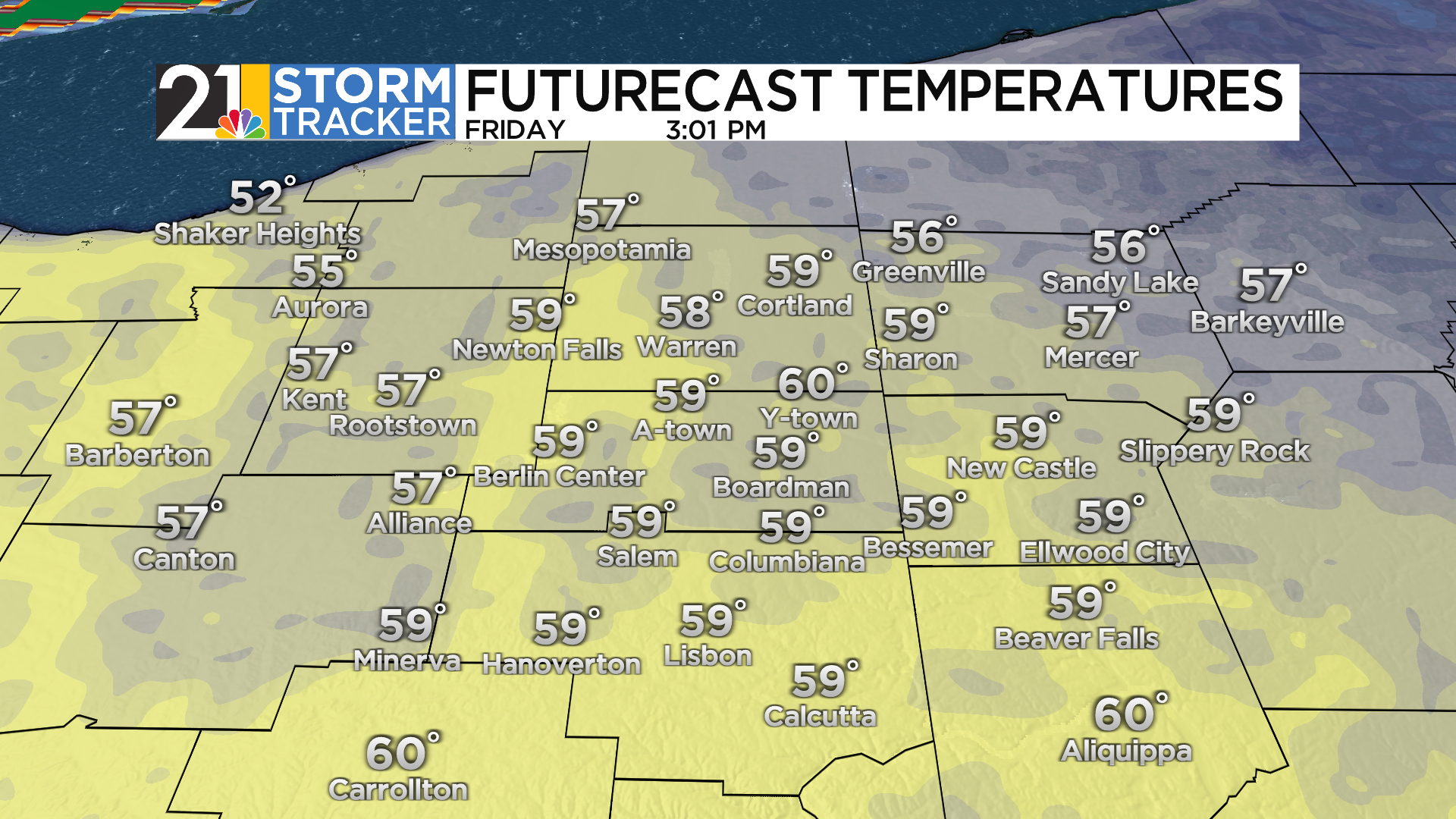
Temperatures soared into the 50s in most of the region on Thursday, but Friday will truly feel like spring with readings in the lower 60s by mid-afternoon. As is often the case in the middle of winter, Friday's warmth will come with plenty of wind and a couple of chances for rain. Wind gusts of up to 40 mph or so will be possible, especially during the morning. The first half of the day is also when raindrops will impact the most locations. An approaching front could trigger a shower in parts of the area during the middle of the afternoon.
The front will sag just to our south late Friday into Saturday morning, resulting in quiet weather with readings retreating into the 30s. The front should lift back northward as a warm front Saturday, although the warmest air is likely to remain just to the south and east of the region. Raindrops are back in the forecast for parts of the midday and afternoon hours Saturday.
A sharply colder day is in store for Sunday. Temperatures will barely budge throughout the day, and the wind chill will be mainly in the lower 20s. While some snow flurries will be a possibility Sunday morning, snow showers appear to be more likely Sunday afternoon into early Sunday evening. Accumulations are expected to be under an inch.
After a few fairly seasonable days early next week, a colder pattern should evolve by the end of the week.

