Biggest winter storm in 4 years on the way this weekend

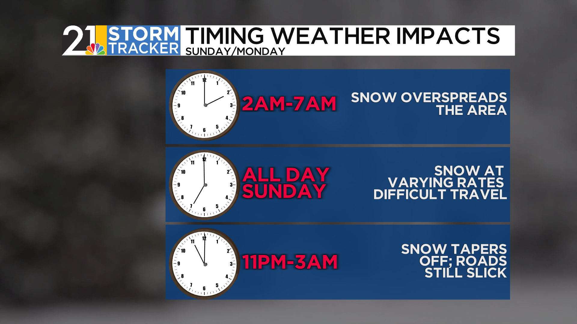
Confidence continues to increase that eastern Ohio and western Pennsylvania will be walloped by a powerful winter storm Saturday night through Sunday night. We expect snow to become steadier and heavier as Saturday night turns into Sunday morning. Travel is not recommended on Sunday, especially during the midday, afternoon and evening hours. A storm total accumulation of 8-12 will be common by the time the snow tapers off overnight. Flurries and snow showers will linger into Monday and a cold, gusty wind is also in the forecast for the start of the work week.
Prior the arrival of the weekend storm, a frigid air mass will settle over the entire region. Temperatures will fall from the teens to the single digits on Friday and wind chills will end up below zero. Air temperatures will dip below zero Friday night, although there will be less wind. Saturday looks like a very cold, but uneventful day with increasing cloudiness.
The very cold weather will not let up anytime soon. Temperatures are likely to stay below freezing through at least the first couple of days of February.